TAP ResearchPaper018-Wingates
2007, Wingates, Northumberland: An Archaeological and Historical Study of a Northumbrian Township and Estate

Sign up for access to the world's latest research
Abstract
AI
AI
The paper presents a comprehensive examination of the historical and architectural significance of Wingates in Northumberland. Utilizing various illustrative materials including maps and aerial photographs, the study delves into the evolution of the area, focusing on key structures and their historical context. Conclusively, it highlights the importance of preserving such heritage sites for future generations.


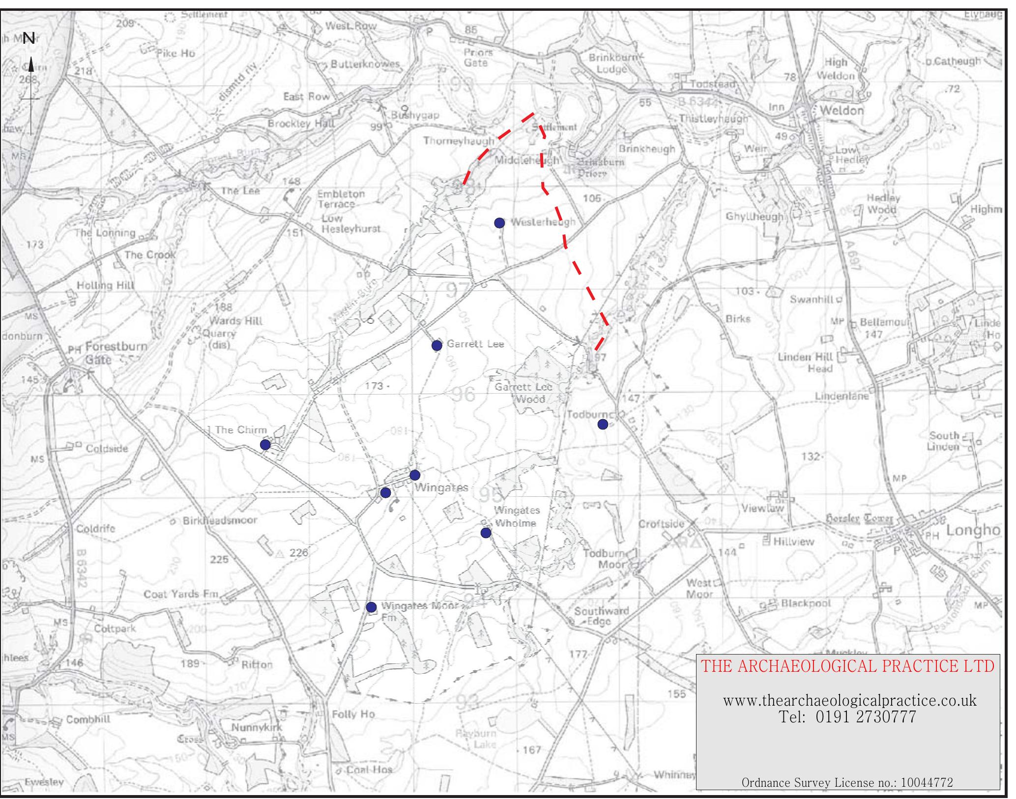


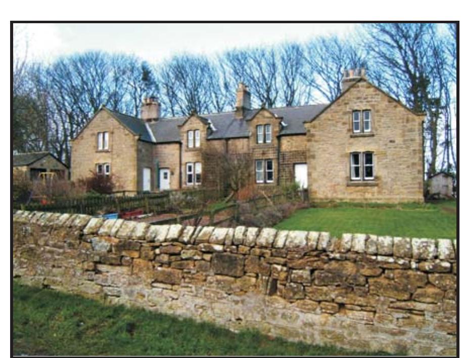


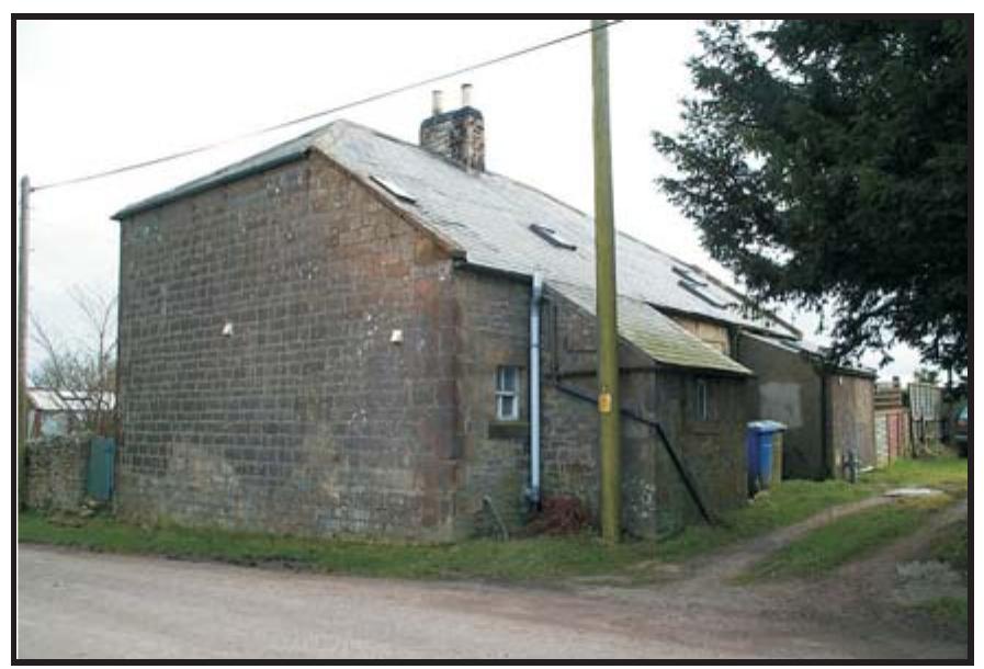


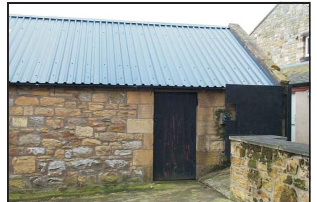










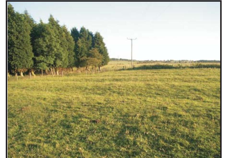


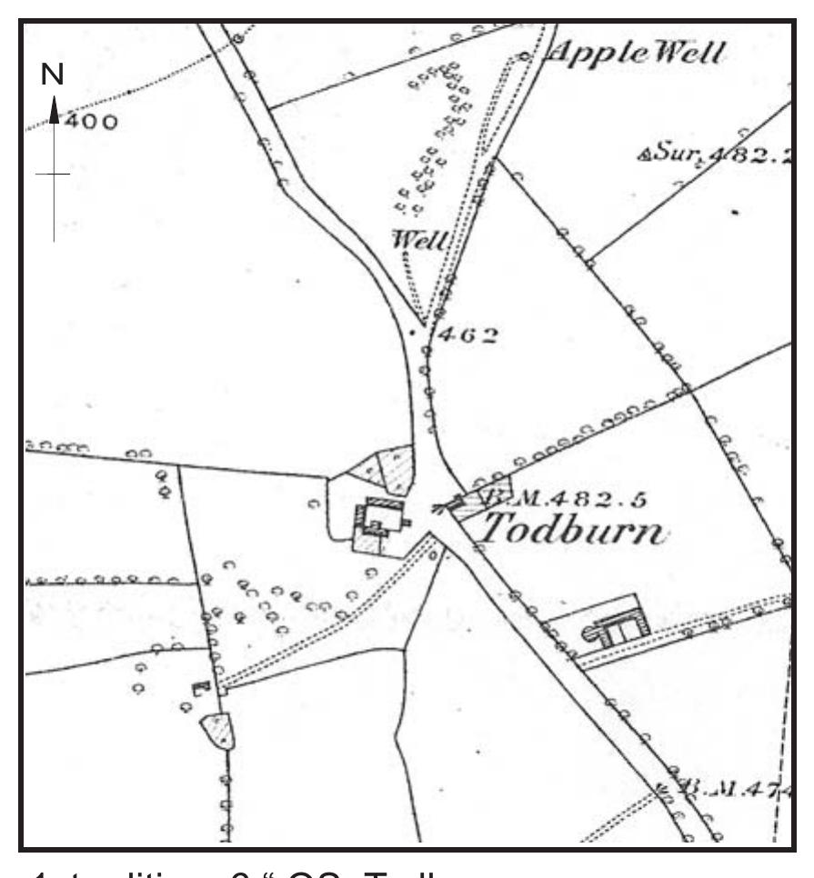


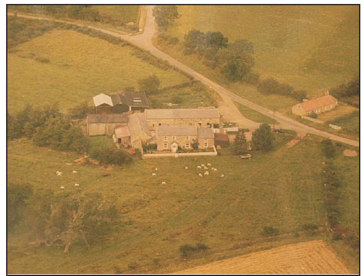


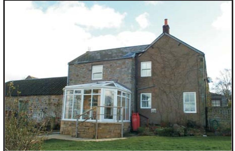


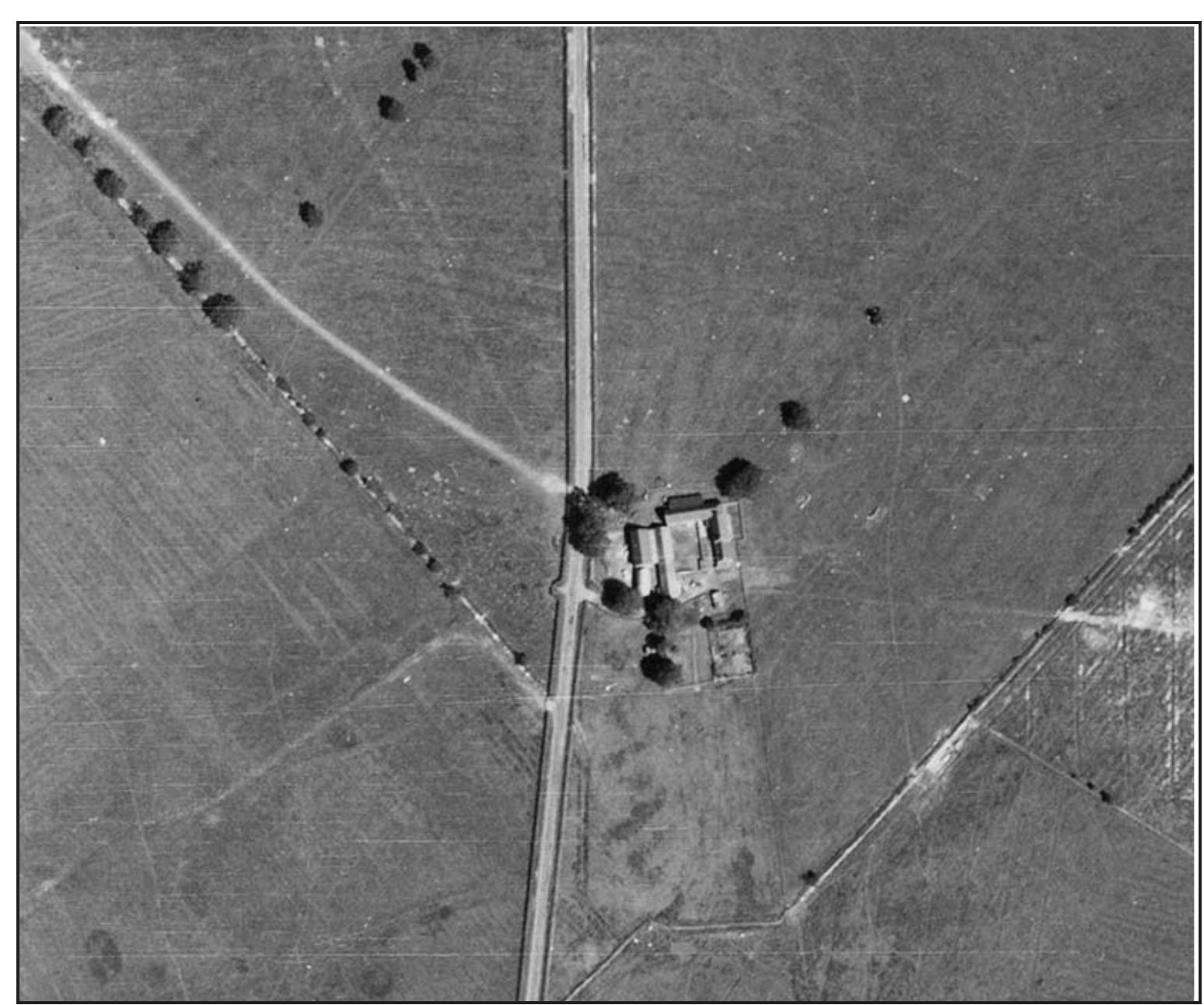


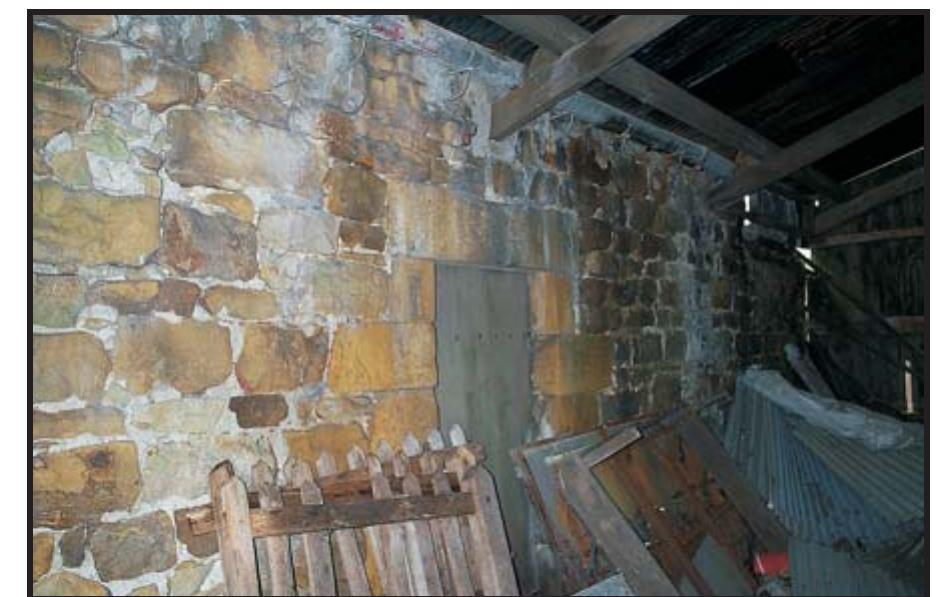


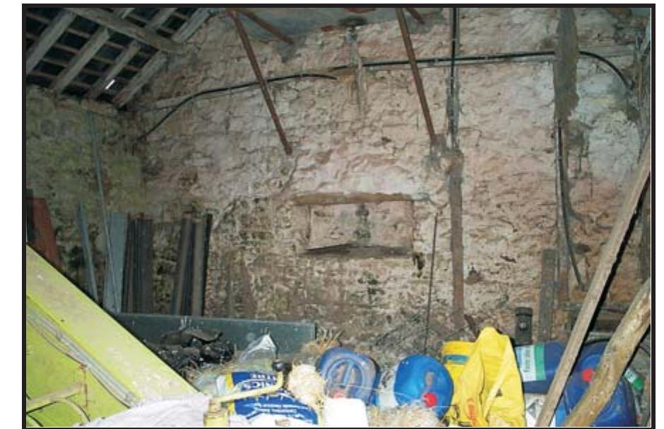


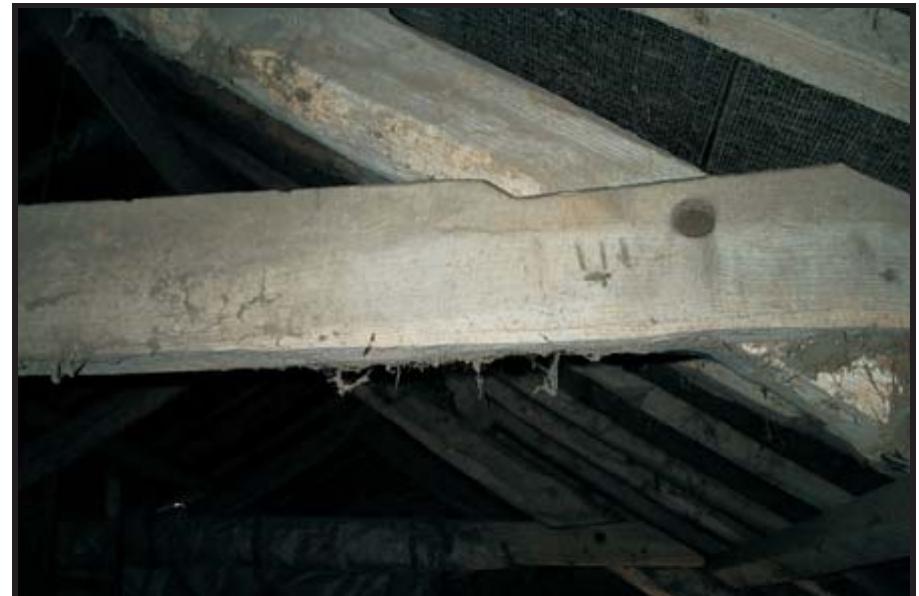






![Table 1: Known sites of cultural heritage importance within the wider study area. A site gazetteer is set out below. Complete entries for those sites listed in the Northumberland Sites and Monuments Record (NSMR) may be consulted by contacting the Conservation Team at County Hall, Morpeth, or in summary form on the ‘Keys to the Past’ website. The gazetteer sites are all located on Illus. 325 and, in the case of those in the immediate vicinity of the village and in the village core, on Illus. 326 and 327 respectively. For further ease of identification the site catalogue numbers are placed between square brackets when cited in the report text. Thus catalogue number 20 would normally appear as [20], although in some cases a site may be more fully identified.](https://figures.academia-assets.com/101176645/table_001.jpg)










Related papers
Carraw Farm, Northumberland: Archaeological Mitigation by Excavation and Watching Brief, 2015
Illus. 02: Plan of Carraw farmstead showing the position of the strip, map and sample archaeological mitigation works (yellow infill and Drain Trench) and the position of the preceding phase of evaluation trenching (red transparency infills) in relation to the existing farmstead and other new developments (purple transparencies).
Grandy's Knowe, Northumberland: Archaeological Evaluation and Historic Building Record, 2008
Britannia, 1993
n c i. The East Midland region showing the river Trent, the sites at Osmanthorpe and Newton, and neighbouring castra probably belonging to the pre-Flavian period. Open squares represent other possible sites. RECENT WORK AT OSMANTHORPE NOTTINGHAMSHIRE l 6 l a gazetteer of sites and findspots) by Whitwell. Work in the area has also been reconsidered by Wheater, particularly with regard to the possibility that a road ran along the valley in Roman times, and more recently by Turner. 3 The present note, while based on an independent review of published reports, has benefited greatly from their work. The Greet is a tributary of the Trent (FIG. 2), flowing southeast from areas of Bunter sandstone through clay soils to join the Trent in the gravels and alluvial soils of the wide Trent basin. Near the Trent the Greet flows through a very low-lying area; the central valley of the Greet is defined by watersheds to the southwest and (closer to the river) to the northeast , while the upper valley is divided by higher ground, like Camp Hill, between the Greet itself and tributaries. The clay soils of the central valley are fertile, and the lighter soils of the Trent basin have attracted settlement since prehistoric times. Cropmarks have been observed near the junction of the Greet with the Trent. At Fiskerton there is a double line of ditches cut by one of two intersecting pit-alignments. A little way northeast , at Rolleston, enclosures are recorded at three distinct locations. 4 Earthworks are known at Camp Hill and Combs Farm, both at Farnsfield, and (not far from the Greet valley) at Old Ox (Oxton), Fox Wood (Woodborough), and Burton Lodge (Burton Joyce). The date and nature of these earthworks is not yet fully explained. While they may be originally of pre-Roman date, Romano-British sherds have been found near the earthworks both at Camp Hill and at Combs Farm. 5 Another earthwork is recorded at Burgage Hill in Southwell, but is no longer visible. 6 The most important single excavated local Romano-British site is the villa at Southwell, which, according to Todd, bears comparison with the largest in the province. Two other villas, situated close to one another just outside the Greet valley, at Epperstone and Thurgarton, have also been excavated, but were much more modest. 7 Two military sites have recently been discovered from the air by D.N. Riley. One is a marching-camp at Farnsfield. Limited excavation at the northeast entrance of the camp
Introduction In the last twenty to thirty years, due to advances in technology such as aerial photography and Lidar imagery, the Cambridgeshire landscape has come alive with sites of historical importance. Sites such as Flag Fen and the South Cambridgeshire Dykes, and the recent discovery of Britain’s best preserved Bronze Age dwellings at Whittlesey have revealed Cambridgeshire as a place of great historical significance. However, the importance of more recent history, such as world war archaeology, is often overlooked. The nature of Britain’s post 1945 de-requisition programme has resulted in the destruction or loss of many sites that were of great importance during World War II, particularly airfields. The number of active airfields nationally increased during WWII and decreased again at the end of the war (see Figure 2) and this national change is reflected in the airfields of Cambridgeshire. The boundaries of Cambridgeshire have changed with the incorporation of Huntingdonshire in 1974: to ensure continuity, the county of Cambridgeshire will be defined as prior to 1974, and all images and discussion will relate the county of Cambridgeshire as defined at this time. During WWII there were 18 airfields in use in Cambridgeshire, some previously in existence and others built during the war. The names, locations, types of airfield and years during which these airfields were active are summarised in Figure 1. This dissertation aims to investigate the creation, location, morphology and evolution of these airfields prior to, during and directly after WWII to identify the rationale behind their construction throughout their careers.
Whitton Farm, Woodland Planting Scheme, Rothbury, Northumberland: Archaeological Assessment & Survey, 2022
Cat. No. 189: Holloway/Track; NGR NU 06433 00508 A track running over the culverted Whitton Burn and incised as a holloway on both approaches to it. Approximately 2-2.50 m in width. Cat. No. 190: Gate post; NGR NU 06432 00510. Gate-post on the north bank of the Whitton burn, constructed from a single piece of sandstone, 1.2 m high (above current ground level) x 0.30 x 0.23 m diam., containing several notches and sockets, some of them highly weathered. Cat. No. 191: Stone boundary bank; NGR NU 06401 00507. A stone boundary bank on the south side of the burn, up to 0.70 m high facing the stream. Cat. No. 192: Stone boundary bank; NGR NU 06367 00486 A stone boundary bank running N-S (continuation of 191), up to 0.70 m high. Cat. No. 193: Holloway; NGR NU 06336 00495 A Holloway running from or alongside the N-S bank (192) to the burn; 1 m wide with some stone incorporated in its north side bank. Cat. No. 194: Field wall/stone boundary; NGR NU 06211 00478-NU 06162 00455-NU 06127 00443. An extensive stone-built boundary wall of varying height, extending along the north bank of the burn, crossing at NU 06127 00443 to the south side and continuing westwards close to the stream. Removed by erosion in places. Crosses back to the north side of the burn near the west end of the survey area. Cat. No. 195: Bridge abutments; NGR NU 06150 00454. Stone bridge abutments closely spaced either side of the burn some 3 m from feature [194], forming a channel 0.30-70 m wide comprising up to four courses on the north side. A pool, perhaps a sheepwash, lies on the downstream side.
The Wheatley Hill & Thornley Village Atlas: 'A Summary', 2015
The Wheatley Hill & Thornley Village Atlas This booklet is designed to provide an accessible summary of the known history, ecology and geology of Thornley and Wheatley Hill and their immediate surroundings. It draws on the work of the recently completed Wheatley Hill/Thornley Village Atlas, a wide ranging programme of work undertaken by members of the local community and a team of specialists directed by the Archaeological Practice Ltd. The Village Atlas was one of many projects focussed on the Durham Magnesian Limestone Plateau fostered by the Limestone Landscapes Partnership with support from the Heritage Lottery Fund and Durham County Council, and this booklet is intended to publish the results of the Atlas programme in a more concise and readily available form than the main Village Atlas report. Copies of the main report may be consulted at the following locations:
Allendale Farm, High Westwood, Co. Durham: Historic Building Recording, 2011
Landscape History
Wallington in central Northumberland is a late seventeenth-and early eighteenth-century country house with associated pleasure grounds. Much of the surrounding estate is agricultural land, though there are also expanses of moorland and conifer plantation. The character of Wallington's landscape, now divided into fifteen separate farm holdings, was to a large extent shaped by estate management practices and improvements in the eighteenthnineteenth centuries. Today's settlement pattern is made up largely of dispersed farmsteads, with field systems which reflect the orderly rectilinear layout of planned enclosure, being separated mainly by long and fairly straight stonefaced banks. In medieval and early modern times, by contrast, the landscape is thought to have been quite different, with nucleated villages set amidst irregular open fields which were farmed collectively. The process of long-term landscape change from open to enclosed field systems has been inferred across the whole of Northumberland but it can be difficult to understand in detail. Absolute dating evidence for field systems before the eighteenth century is generally lacking and the origins and development of historic earthworks including boundary banks and the remains of arable farming are poorly understood. This paper presents results of research which used retrogressive landscape analysis (based on documentary evidence, archaeological data, aerial photographs, and historic cartography) to identify five areas for detailed geoarchaeological investigation and sampling with optically stimulated luminescence profiling and dating (OSL-PD). The results provide new perspectives on the development of landscape character at Wallington which have wider relevance for northeast England and beyond.
Thornley and Wheatley Hill: An Archaeological and Historical Study of Two Townships in County Durham, 2015
A view looking north towards the settlement of Old Wingate, above the abandoned Wingate magnesian limestone quarry. Old Wingate is a shrunken medieval village and Scheduled Ancient Monument whilst Wingate Quarry is a SSSI and a Local Nature Reserve.
Carham Hall, Carham, Northumberland: Archaeological Desk-Based Assessment Incorporating an Historic Buildings Assessment, 2020
Related papers
1997
Frontispiece: RAF vertical aerial view of the northwestern part of Barton Bendish Chapter 1 Barton Bendish Survey PI.I RAF vertical aerial view of the Pl.II PI.III intersection of the east-to-west Roman road and the Devil's Dyke RAF vertical aerial view of the northern part of Eastmoor hamlet RAF vertical aerial view of the eastern part of the main village 2 26 30 Chapter 2 Barton Bendish Excavation Pl.IV RAF aerial view of the excavations PI.V Area B, soil mark of ditch 307 after PI.VI PI.VII PI.VIII PI.IX PI.X machine clearance Area B, ditch 307 facing north Area B, ditch 307 facing east Area D, ditch 422 facing east Area A, wall 203 Area D, general view at early stage of excavation, looking northeast Chapter 3 Caldecote Survey 43 55 55 55 55 55 55 Pl.XI Aerial view of the surveyed field 78 Chapter 1 Thanks are due to the following farmers and landowners who kindly allowed the author access to their lands: Messrs Fake, Fisher, Mason, Matthews, Phillips, Riches and Sanderson. Special thanks must be given to Barton Bendish Farms Ltd and all its staff, in particular former farm manager Mr Frank Boardman and his successor Mr Brian Reynolds who in the face of repeated enquiries about cropping programmes and ground conditions showed great patience and considerable enthusiasm. Thanks are also due to the late Tony Gregory, John Wymer, Frances Healy, Sarah Jennings, Bill Milligan and Sue Margeson for their help with finds identifications, to Cathy Coutts who identified a Middle Saxon imported sherd, to David Fox and Steven Ashley who showed great patience and skill while producing the illustrations, to Brian Cushion for surveying earthworks at Abbey Farm and drawing Fig. 15, to SteveBrown who searched several fields with a metal detector, to Danny Voisey for bringing seven out ofeight ring-ditches to the writer's attention, and finally to the late Reg Fisher without whose invaluable and freely given help the finds would have remained dirty and unmarked. Chapter 2 Thanks are due to the following people: site owners Messrs Bostock, Lemmon and Page who contributed to the excavation costs; the then Rector Rev. Jack Smith and Brian Reynolds of Barton Bendish Farms who helped in many ways; Steve Brown who metal-detected the site; Group Capt. Henderson of RAF Marham who arranged for air photographic coverage; the excavation team,
Embleton Glebe, Northumberland: Archaeological Assessment, 2019
Sussex Archaeological Collections, 2021
Alndale Hall, Glanton, Northumberland: Historic Building Record, 2011
Proposed East Cramlington Golf Course, Cramlington, Northumberland: Archaeological Assessment, 2007
Bronze Age, Iron Age, Roman and Saxon settlements along the route of the A43 Corby Link Road, Northamptonshire, 2023
List of Figures ������������������������������������������������������������������������������������������������������������������������������������������������������� iii List of Tables ��������������������������������������������������������������������������������������������������������������������������������������������������������� vi Contributors ������������������������������������������������������������������������������������������������������������������������������������������������������ viii Acknowledgements ���������������������������������������������������������������������������������������������������������������������������������������������� ix Chapter 1 Introduction ������������������������������������������������������������������������������������������������������������������������������������������1 Project background Location, topography and geology Historical and archaeological background Chapter 2 The archaeological evidence ��������������������������������������������������������������������������������������������������������������11
Interim Report on Archaeological Excavations Carried Out at Mardon Hill, Branxton, North Northumberland in 2017-18, 2019

Loading Preview
Sorry, preview is currently unavailable. You can download the paper by clicking the button above.
 Richard Carlton
